Note: Click on the titles to expand/collapse the text box.
The Course
The project
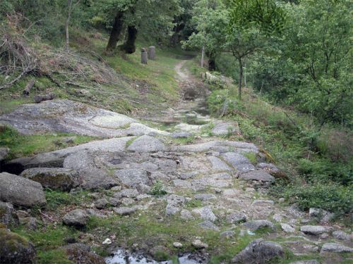
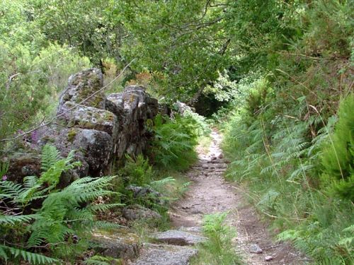
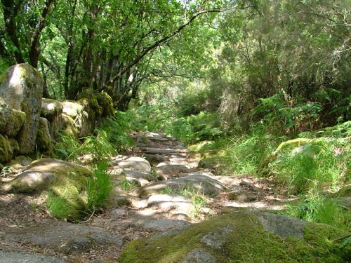
The possibility of travelling, almost without interruption, for a number of kilometres along this Roman road, makes it truly remarkable. Other features along the route which make it so extraordinary are the extensive stretches of cobblestones, the unusual number of milestones, bridge ruins over wild rivers, and quarries from which stone was excavated for the milestones. The beauty and variety of landscapes along the road also make it unique.
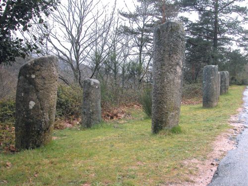
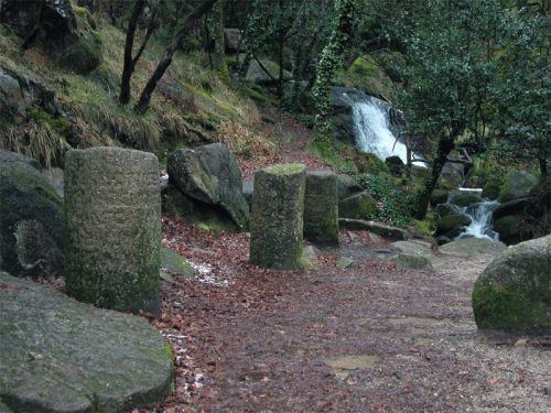
The quantity of milestones you find on this stretch of the VIA NOVA is without parallel in other parts of the Roman Empire. They, together with the surrounding forest have an extraordinarily magical effect. It prompted an Italian archaeologist from the Sapienza University of Rome to describe it as a “Foresta di Migliari” or “Forest of Milestones”.
It is always Confraria Trotamontes’ aim to organise “magical” trail runs. In partnership with .COM it will try to provide all athletes who love running in the midst of nature with this magic.
Milestones
Milestones indicated the distance to the city from which the road started. As well as containing this information, the name of the ruling emperor who ordered the building or restoration of the road, was also recorded. These granite stone pillars were generally cylindrical in shape, and on average were 1,70m in height with a 1, 27m diameter.
In general, milestones dating back to 4 AD are smaller in height and diameter compared to the older ones, and their inscriptions are almost always of mediocre quality. The height of the milestones ensured that the information inscribed on them could be read by people travelling on foot or horseback without having to slow down.
Milestones were erected on the main roads of the Roman Empire. We know that at present most of them aren’t in situ, either having been moved to the immediate surroundings or further afield.
The setting of the Ultra Trail Geira/Via Nova Romana
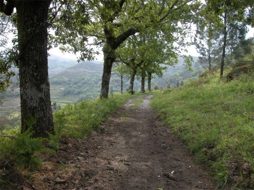
The Via Nova Romana runs, almost always at the same height, along the northern foothills of the Serra de Santa Isabel. Today, the stretch of the Geira between Santa Cruz and Covide separates the agger (embankment) from the saltus (estates), but we do not know if it was used for that purpose in Roman times. The land above the Geira is mainly used for pasture. The woods are regularly made use of and the wild vegetation periodically burnt. Just below the Geira, half the hillside is covered with thickets of pine and chestnut trees. Further down, on the last third of the slopes and in the valley there is cultivated terraced land surrounding the settlements. Currently, maize and horticultural products are grown. In former times, before the introduction of maize, hog millet and flax were grown.
The majority of the villages are situated between the Geira and the valley, although there are some settlements further up the slopes. In the municipality of Terras do Bouro, villages are named either cima (upper) or baixo (lower) depending on their location in relation to the Geira.
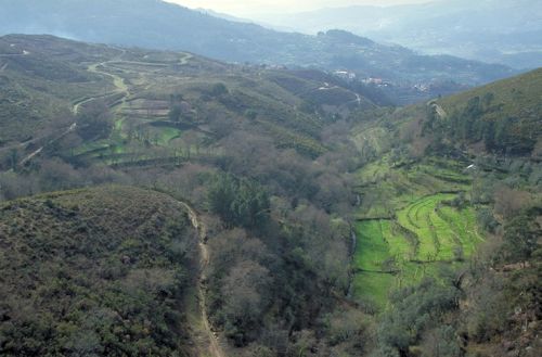
In Covide the Via Nova Romana crosses an extensive meadow, which is divided in two by the road. From Covide, the Roman road rises slightly up to the almost flat Veiga de S. João do Campo, and crosses it in a northeasterly direction until it reaches the Vale do Rio Homem again. Above Campos de Gerês, between miles XXIX and XXXIV, the Geira runs along Vale do Homem, and the western foothills of the Serra do Gerês. On the opposite side of the valley the denuded slopes of the Serra Amarela rise up. This stretch of the Via Nova is surrounded by the Mata da Albergaria, a forest in which the quercus robur (related to holly) flourishes.
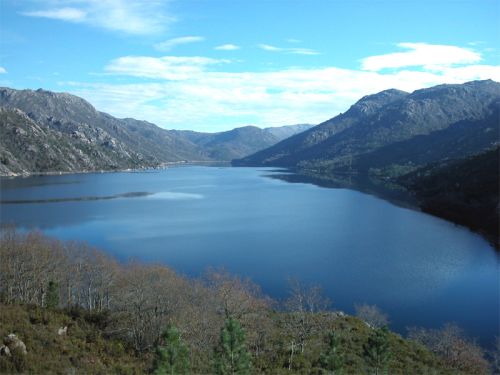
From Portela do Homem the Via Nova descends to the Lima River through the rectilinear Rio Caldo valley, which is of tectonic origin.
Miles
A distance of one mile separated the milestones. According to classic treatises that distance was 1000 steps (which corresponds to 1485 metres). However, several studies have confirmed that the distance between milestones varies, even along a stretch as short as the one from Santa Cruz to Portela do Homem. Sometimes the distance is around 1600 metres or even more.
Today, as in the past, when you travel along the road, at every mile you are surrounded by ever-changing landscapes. You also come across several eye-catching features: cobblestones, a river ford, an old stone quarry, etc. In this sense, you can say that every mile (at least in the Municipalities of Braga, Amares, Terras de Bouro and Lobios) is unique and distinct from all others.